We rode 99.2 miles, including travels in Fairfield.
Here is a map of our general route: http://www.mapmyride.com/routes/view/246980507. We actually rode on the Interstate from Memory Drive to Mayfield, but I could not figure out how to get MapMyRide to put us on the Interstate. The route shows that the starting, stopping, and maximum elevations were 2,778 ft., 5,326 ft., and 5,551 ft. We climbed 4,711 vertical ft. and had 1 class-2 climb, 1 class-4 climb, and 3 class-5 climbs. (I deleted 3 class three climbs that were not on the Interstate. Vertical feet is slightly overstated.)


 Trout fishing in Idaho
Here is a map of our general route: http://www.mapmyride.com/routes/view/246980507. We actually rode on the Interstate from Memory Drive to Mayfield, but I could not figure out how to get MapMyRide to put us on the Interstate. The route shows that the starting, stopping, and maximum elevations were 2,778 ft., 5,326 ft., and 5,551 ft. We climbed 4,711 vertical ft. and had 1 class-2 climb, 1 class-4 climb, and 3 class-5 climbs. (I deleted 3 class three climbs that were not on the Interstate. Vertical feet is slightly overstated.)
We camped in the city park.
Ready to launch
Ready to launch

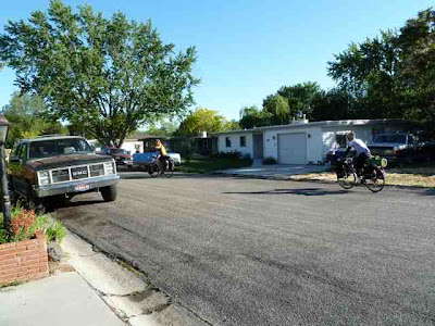
Starting off

On the Interstate

The West

Gravel roads


The dry West


Views from a point where we ate lunch


The road ahead

A peak @ 5,527 ft.


Looking ahead


Jeff and I had a wonderful time visiting with you guys. Thanks for stopping by. Have a safe journey and come back any time! :)
ReplyDelete