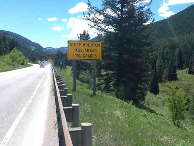
Here are the statistics for the day. We rode 41.64 miles, about 10 of which were in town, @ 10.4 mph. I reached a maximum speed of 47.8 mph. Our maximum elevation was 8431 feet.
We enjoyed our evening. We went to a "gunfight", Snake River Brewpub, a Thai restaurant, and a rodeo.
Here is a map of our general route: http://www.mapmyride.com/routes/view/247545761. It shows that our starting, stopping, and maximum elevations were 6,139 ft., 6,157 ft., 8,442 ft. We climbed 2,260 vertical ft. and had 1 class-2 climb. I do not want to see an HC climb.
Rose
Here is a map of our general route: http://www.mapmyride.com/routes/view/247545761. It shows that our starting, stopping, and maximum elevations were 6,139 ft., 6,157 ft., 8,442 ft. We climbed 2,260 vertical ft. and had 1 class-2 climb. I do not want to see an HC climb.
Rose


Isn't it stunning! My home state really takes your breathe away :) literally and figuratively! I got my package and see you encountered no bears!! Yeah!
ReplyDelete